Sunday 18 February 2024
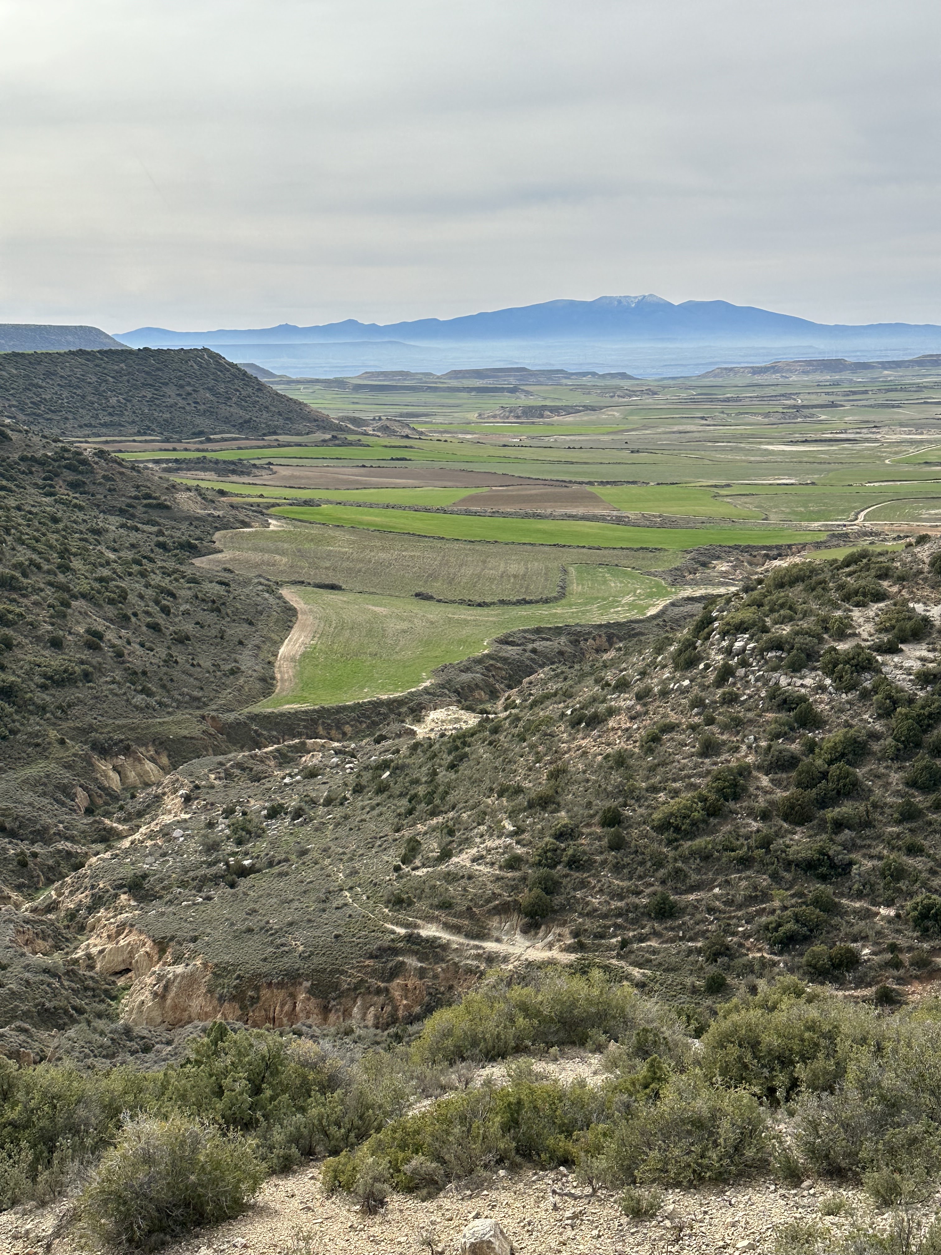
Bardenas Reales - a landscape sculpted by time, weather and water, this semi-desert area is about 70km south of the Pyrenees in the Navarra region of Spain.

The ground is made of clay, chalk, and sandstone which has been eroded by water over millions of years, leaving plateaus, hills, valleys and multi coloured rocky outcrops. It is full of peculiar geological formations - a photographers dream.

For the best part of 8 hours we drove around on the dusty unmade roads on a beautifully sunny Sunday, exploring the 3 different areas of the park. And for most of the time we were all alone seeing very few other vehicles.


In the northern area are El Plano (only accessible on foot or by bike) and La Blanca Alta which we drove a few miles through until the track became very rutted and almost impassable.

But it’s the central area, La Bardena Blanca, which is the one the tourists flock to, even more so since it featured in Game of Thrones (filming location of Dothraki Sea in Season 6 - means nothing to me but might to you if you’re a fan). Scenes from James Bond’s 1999 The World is Not Enough, which I’m much more familiar with than GOT, were also filmed here.


It’s an extremely fragile ecosystem with UNESCO Biosphere Reserve status. The are a few simple common-sense rules for visiting the park. These are listed on their website, in the Information Centre, on the free map handed out and on subtle signage dotted around the park.

It’s a real shame then that a few people feel the rules don’t apply to them. Like the woman who climbed half way up the Castildetierra so her friends could photograph her, the man flying his drone around it, the couple who parked up & slept overnight in their car and the group who left banana and orange peel at the base of the rocky formation (which Google tells me will take up to 2 years to decompose). Just why? They are accelerating the erosion, polluting the environment and spoiling the experience for everyone else. Rant over - here’s some more photographs to enjoy.


No comments:
Post a Comment